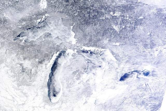
I posted the other day about the Great Lakes freezing over and have had many conversations with other photographers about the great photo opportunities that such a cold winter make possible. Personally, the assurance that the frozen lake surface is safe to venture out onto is more than enough to ask for. The thought of falling through thin ice terrifies me! But the possibilities of making beautiful images in such conditions entices me to explore the frozen coastline carefully. Pictured above is a recent NASA satelite image of the Great Lakes region. The lakes are even more frozen over today. Lake Superior is nearly frozen over and Green Bay is completely frozen over. Conditions will remain safe for some arctic-like exploration for a few weeks. Once the ice cover starts to break up, even more spectacular photo opportunities will occur when the ice sheets move toward and crash into the eastern coastlines!